

Part of the coverage of the horrific aftermath of Hurricane Ian, along with the growing death toll and devastation to property, are questions about the delay in evacuation of Lee County, Florida, and whether the hurricane forecast was the reason for it.
A large number of the fatalities in the hurricane occurred in Lee County. Despite other parts of Florida evacuating Monday, Lee County held off until Tuesday, during a time when the weather had already took a turn for the worst. This, understandably, has led to the media having questions.
Fingers were pointed at the forecast. It is true that Sunday, the center of the hurricane track was the Big Bend area, then shifted to Tampa early Monday, and then eventually as Monday progressed, to the Fort Myers area. The key here is “center of the hurricane track.”
Hurricane forecasts are difficult. Not just getting the track and intensity correct, but also communicating this to the public. I talked about this in my last First Draft post. One communications tool used by the National Hurricane Center is the “cone of uncertainty.”
The cone is the forecast track, and the cone is based on average forecast errors at each date point – 24 hours out, 48 hours out, etc. Forecast track accuracy has improved over the years, so this cone is narrower. Here is an example of the cone during the leadup to Ian:

Note what it says at the top, about how this shows the probable path. The problem is, much of the public focuses on that line. But anyone inside that cone is potentially in the path, and is at risk.
However, some only see that line. And that is a big problem. Not everyone has my weird obsession about weather, and not everyone gets the same level of information that is afforded to government and emergency officials; although much of this information is available to the public via storm statements from the National Hurricane Center.
As Dr. J. Marshall Shepherd, a leading international expert in weather and climate and director of the University of Georgia’s Atmospheric Sciences Program wrote this week, meteorologists need to understand that many people get their weather information from an app or TV source. This can lead to misunderstandings like not understanding tools like the cone of uncertainty.
So messaging is vital, and this leads me to the delay in evacution by Lee County officials. They are not supposed to be getting their weather information from an app, but from coordinated updates from the National Weather Service. They are also a key source for messaging, and it is not hard to see how not ordering evacuations until the last moment sends the very wrong message to the public. This is exasperated by the fact that Lee County, as Dr. Shepherd notes in his piece linked above, was never at any point outside the forecast track cone. It was not always in the bullseye. But it was in the area of risk.
Of course, there has been another factor that has reared its head, and that is the convenient scapegoat that weather forecasters provide government officials in these sort of gaffes. Not-Great Human Being and New York Governor Andrew Cuomo attempted to foist lack of preparedness for a lake-effect blizzard in 2014 on forecaster error, and the meteorology community was waiting with knives out to counter this narrative, including normally Cheerful Weather Guy Al Roker:
Seems like @NYGovCuomo folks didn't look at @NWSBUFFALO forecasts on Monday for 2'-3' of snow with significant additional amounts possible
— Al Roker (@alroker) November 23, 2014
Don’t mess with Al, man.
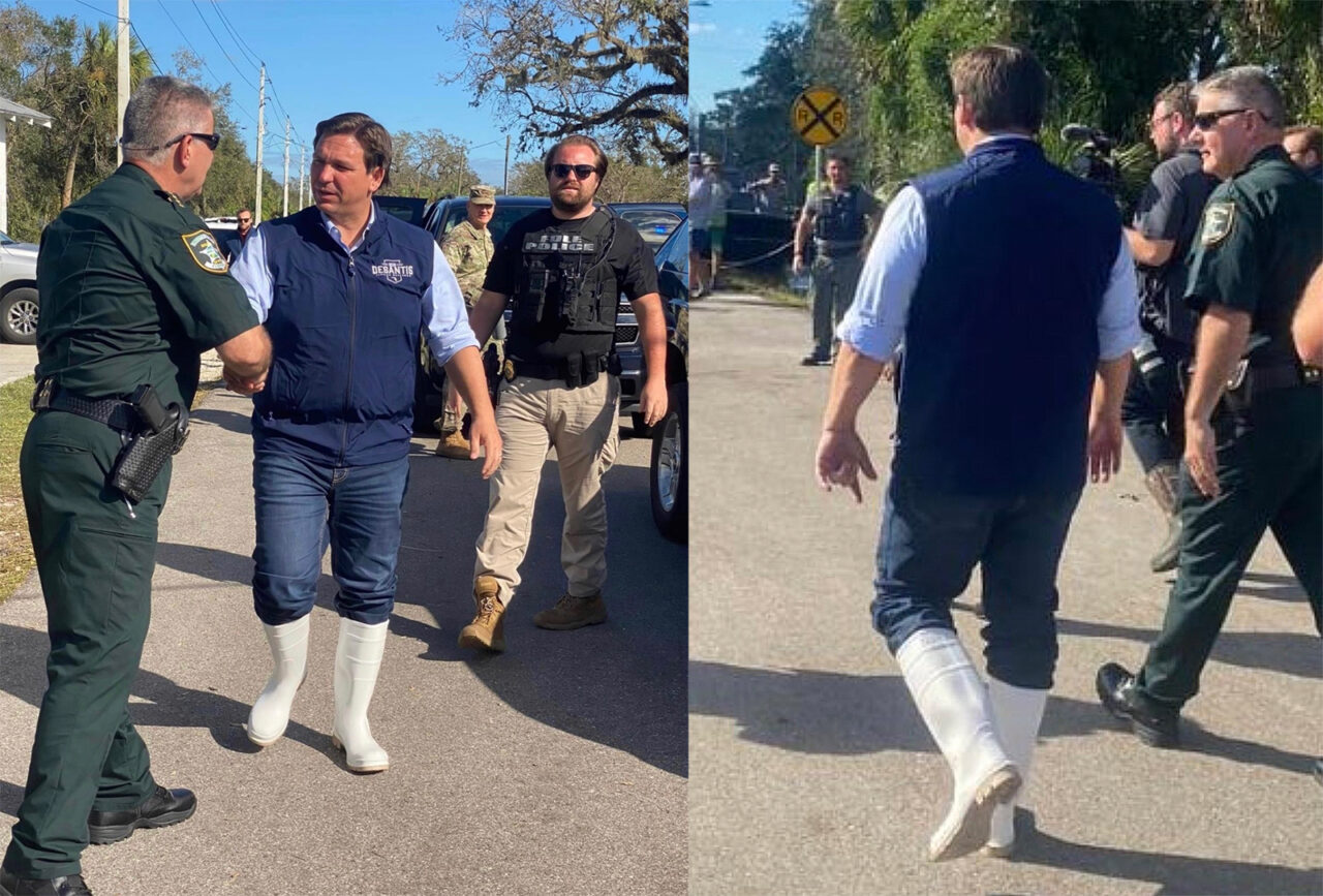
In the case of Ian, White Boot Enthusiast Ron DeSantis said the following:
“They were following the data. And you remember, people were looking initially at the Panhandle on Sunday, then Monday came, and people were thinking maybe north of Tampa Bay. When we went to bed Monday night people were saying this is a direct hit on Tampa Bay, worst case scenario for the state. As that track started to shift south and the computer models, the next morning they called for the evacuation, they opened their shelters and they responded very quickly to the data.”
Look, I know that they have a very difficult job. If you order an evacuation for a nothingburger, you end up looking bad. You also run the risk of the Boy Who Cried Wolf Syndrome, where the next storm’s warning gets ignored because the public says “we remember the last time when we left for nothing at all.” But in the wake of a disaster like Ian, everyone, from the National Hurricane Center, to politicians, to emergency management, to the people living in hurricane regions themselves, need to look at what happened with Ian and learn some difficult lessons. This will likely happen.
Because with climate change, the risks of Ian being the last catastrophic hurricane are pretty high, and that much is certain.
The last word goes to Neil Young: